F.M. Highway 270 – TxDOT Houston:
Transportation | September 2017
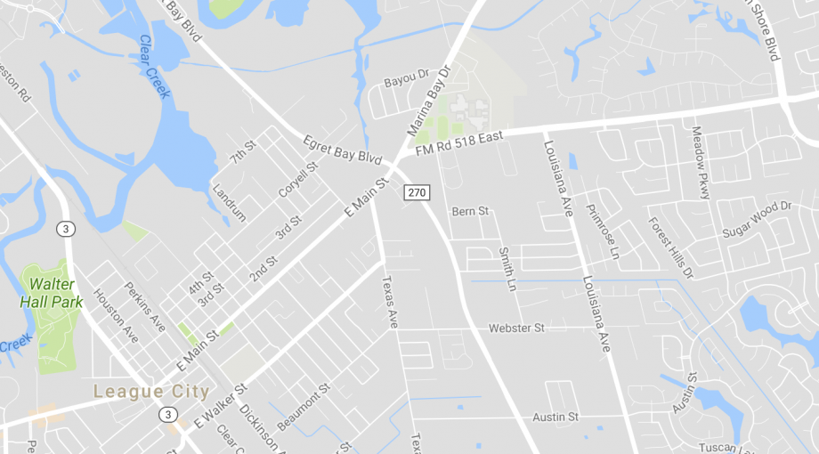
Harris County/Galveston County: Provided aerial mapping control survey for approximately 2.5 miles of F.M. 270 in preparation of aerial mapping performed through the TxDOT Austin District. In addition to the aerial control, established existing Right-of-Way with monumentation, prepared design survey, updated DTM & Planimetric from aerial survey with ground survey data, coordinated with LSLS to establish State of Texas Land/Boundary of Clear Creek for update of FM 270 Right-of-Way maps. (15.1.1, 15.1.2, 15.1.3, 15.1.4, 15.2.1, 15.4.1)