Transportation
| September 2017

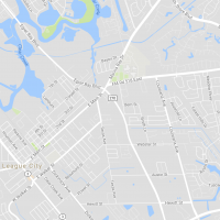
Harris County/Galveston County: Provided aerial mapping control survey for approximately 2.5 miles of F.M. 270 in preparation of aerial mapping performed through the TxDOT Austin District. In addition to the aerial control, established existing Right-of-Way with monumentation, prepared design survey, updated DTM & Planimetric from aerial survey with ground survey data, coordinated with LSLS to... Read more »
Transportation
| September 2017

Prepared litigation surveys for State AG’s Office, parcel maps and descriptions, control surveys, construction surveying, design surveys, and many other tasks. Coordinated with TxDOT to set up a program for 11 survey firms to establish control, set TYII ROW Monuments and prepared mapping. Using existing TxDOT CAD standards and Survey Procedures for Control and ROW,... Read more »
Transportation
| September 2017

GPS control surveys, design surveys, utility research, utility coordination, performed non-destructive test hole utility locates, detail bridge surveys, channel surveys, prepare parcel maps and descriptions, submitted subdivision plats for recording with the Harris County Clerk, aerial control survey, update planimetric and GeoPak TIN files. (15.1.1, 15.1.2, 15.1.3, 15.1.4, 15.2.1, 15.4.1) Read more »


